
C-Res Local Buying Program
Supplier Registration Number S03732
PHCCI Award Finalist
Innovator of the Year 2022
Excellence in Leading with Innovation 2025


Our services
EnergyTron thrives on opportunities for continuous improvement and development, fostering in-house research while collaborating with external academics to integrate theoretical research into practical engineering applications.
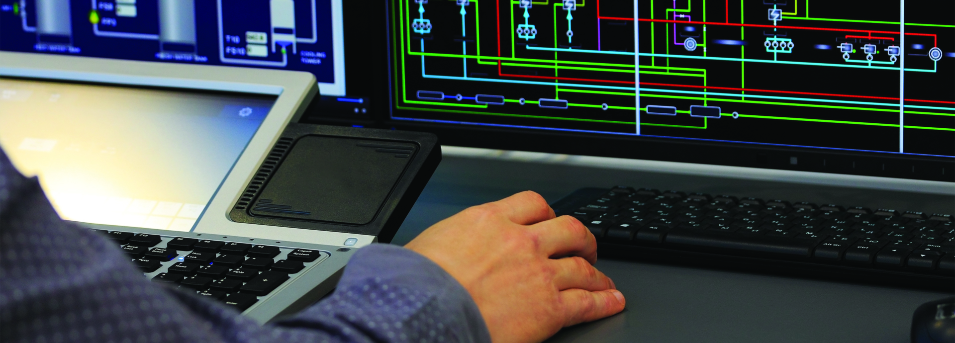
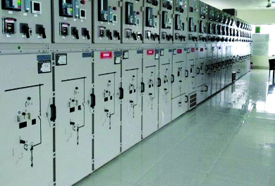
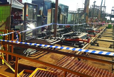
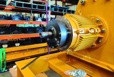
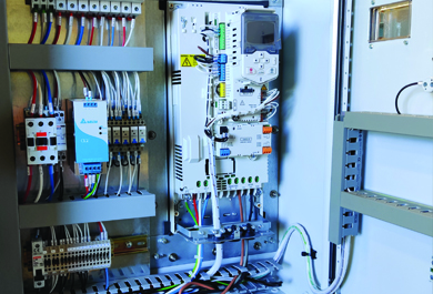
Engineering
Delivering innovative electrical, energy, and infrastructure solutions with precision, efficiency, and proven expertise.
Get Details
Construction
End-to-end construction services delivering safe, efficient, and high-quality project execution.
Get Details
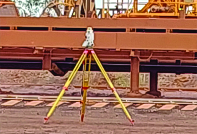
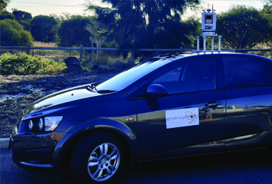
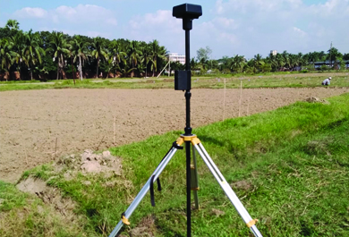
Survey & GIS
High-precision GIS, LiDAR, and asset mapping to optimise infrastructure planning and management.
Get Details
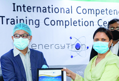
Training
Specialised technical training and knowledge transfer to empower teams with practical engineering expertise.
Get Details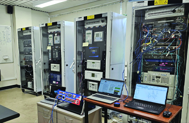
Research
Innovative research and development driving advanced engineering, energy, sustainable systems and infrastructure solutions.
Get Details
Environmental
Sustainable environmental solutions through smart engineering, compliance, and innovation.
Get DetailsResearch – Grounding every project in rigorous analysis and knowledge-driven insights.

Values & Vision
EnergyTronCreativity – Applying imaginative approaches to solve complex engineering challenges.
Values & Vision
EnergyTronInnovation – Delivering cutting-edge technologies and solutions that shape the future.
Values & Vision
EnergyTronClients & Partners
EnergyTron collaborates with leading companies, industry partners, and research institutions worldwide. These partnerships reflect our commitment to innovation, advanced technology, and delivering reliable, efficient, and sustainable engineering solutions.


Case Studies
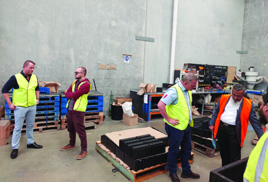
EnergyTron’s case studies highlight successful delivery of complex engineering projects, showcasing our expertise in renewable energy, infrastructure, and sustainable solutions. The following are some examples of our work, each demonstrating innovative design, advanced technology deployment, and collaboration with global partners to achieve reliable, efficient, and real-world results.


News
Stay informed with some of EnergyTron’s news, projects, and developments. These highlights showcase our innovations, collaborations, and achievements across engineering, energy, and sustainable solutions.
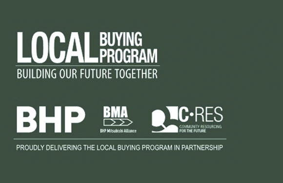
EnergyTron Listed as Approved Provider for BHP WAIO
In September 2021, EnergyTron was successfully listed under BHP’s Local Buying Program to provide services and materials across its Western Australia Iron Ore (WAIO) operations.
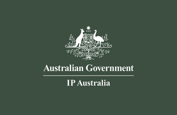
EnergyTron Secures Official Trademark Registration
EnergyTron has successfully registered its trademark, reinforcing the company’s brand identity and protecting its intellectual property across key markets.
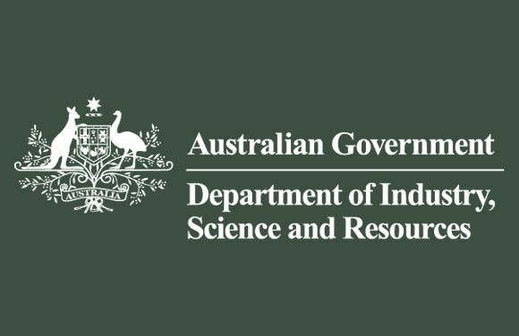
EnergyTron Registered Under Australia’s Industry Research and Development Act
EnergyTron was officially registered under the Australian Industry Research and Development Act. Its commitment to innovation, R&D activities, and the advancement of engineering and sustainable technologies.